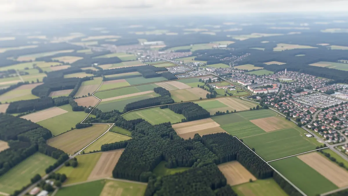
The Public Service of Wallonia (SPW) is making new orthophotos of Wallonia available. These images, produced from corrected and assembled aerial photographs, offer a ground resolution of 25 cm. They are now accessible on the Wallonia Geoportal, covering springs 2025 and 2026, as well as part of summer 2025.
These orthophotos serve as a common reference framework essential for SPW teams in various fields such as public works, cartography, land use planning, environment, agriculture, mobility, infrastructure management, and support for local authorities.
The spring 2025 campaign was acquired in April, May, and June 2025. The summer 2025 campaign dates from August 25, 2025, while the spring 2026 flights took place between March 2 and April 24, 2026. The data is available in true color and infrared, along with the necessary tiling and meshing layers for their use.
The production of these orthophotos involves multiple expertise areas, from flight planning to dissemination, including acquisition, control, orthorectification, assembly, integration, and documentation. Continuous optimization of this chain ensures the quality and reliability of the published data.
Initially produced for SPW's internal use, these orthophotos are subsequently made open to all. They can be viewed through SPW's mapping tools, accessed via REST, WMS, and WMTS services, and are downloadable according to the specifications in the descriptive sheets. This openness allows citizens, professionals, and administrations to have a recent and reusable representation of the Walloon territory.