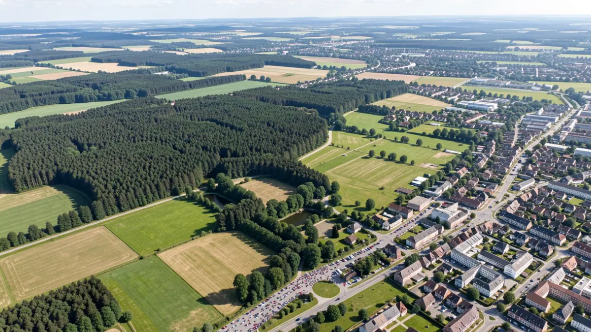
A unique opportunity to rediscover the Walloon territory with remarkable detail is now available thanks to new aerial photographs. Whether it's your home, your municipality, a familiar landscape, or a place dear to your heart, these images allow you to observe them from a new perspective.
These new orthophotos, available on the Géoportail, include complete coverages from the spring of 2025 and spring of 2026, as well as partial coverage acquired during the summer of 2025. With a ground detail of 25 cm, they allow for precise observation of landscapes, neighborhoods, infrastructure, and territorial evolution.
The production of these images primarily serves the needs of the Service public de Wallonie (Public Service of Wallonia) departments, particularly for public works, mapping, land use planning, environment, agriculture, and heritage. They are used to prepare projects, monitor territorial changes, and support public policies.
This data is then made open to everyone. Citizens, professionals, administrations, and researchers can consult and reuse it according to their needs.