
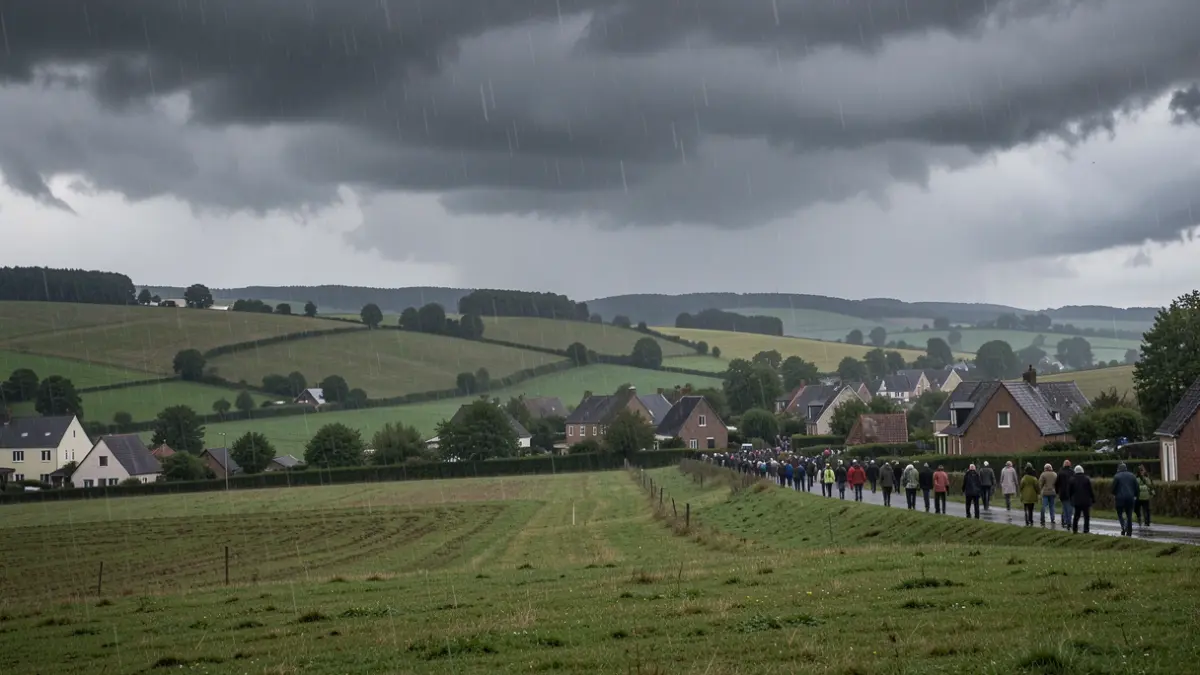
The Walloon environmental services anticipate intense precipitation, which could raise the levels of certain watercourses and cause runoff. Rainfall amounts over a 24-hour period are expected to exceed 25 l/m² in the south of the country, potentially reaching 50 l/m² or more in some areas.
Intense and persistent rain is particularly expected during the night from Thursday to Friday and throughout Friday. Over the entire period from Monday to Friday, cumulative rainfall could reach 80 to 150 l/m² in hilly areas and 40 to 90 l/m² elsewhere.
The precipitation that has already fallen has led to a widespread increase in river levels, which are currently tending to stabilize. If the forecasted rains materialize, pre-alert thresholds could be reached on some watercourses, requiring vigilance near them.
Soils, absorbing water less easily, increase the risk of surface runoff and flow, especially near small, unmonitored watercourses and at the head of basins. The drainage system may also reach saturation. However, reservoir dams have sufficient capacity to absorb the announced rains.
To follow the situation, it is advisable to consult the status of major watercourses on Hydrométrie Wallonie, the forecasts from the Royal Meteorological Institute (IRM), and information regarding flood risk in Wallonia. The number 1722 is activated for storm or water-related damage requiring firefighter intervention, while 112 remains reserved for life-threatening emergencies.